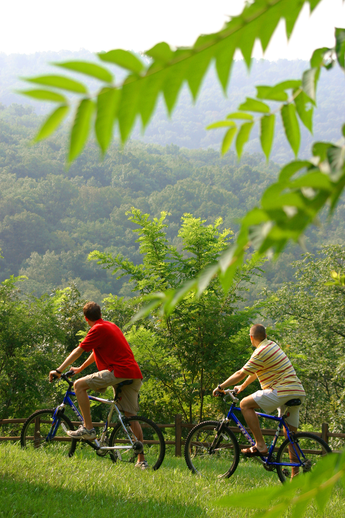
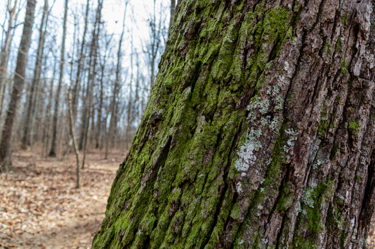
Rising over 1600 feet above downtown Huntsville, Alabama is the southern Appalachian peak of Monte Sano. One of North Alabama’s natural treasures, thousands of acres are preserved for nature and recreation thanks to the Land Trust of North Alabama and Monte Sano State Park. A 15 minute drive from downtown, Monte Sano offers trails to meet hikers and mountain bikers of all levels. A large trail map is posted at the trailhead in the Hiker’s and Biker’s parking lot. You can also buy one at the Park Store. Trails throughout the park are well blazed, and very easy to see in winter.
Monte Sano State Park offers 14 miles of trails contained inside the park for hiking, running and mountain biking of varying difficulties, plus facilities for other outdoor activities like picnicking, rock climbing and disc golf. Monte Sano, in my opinion, also offers some of the best views of Huntsville.
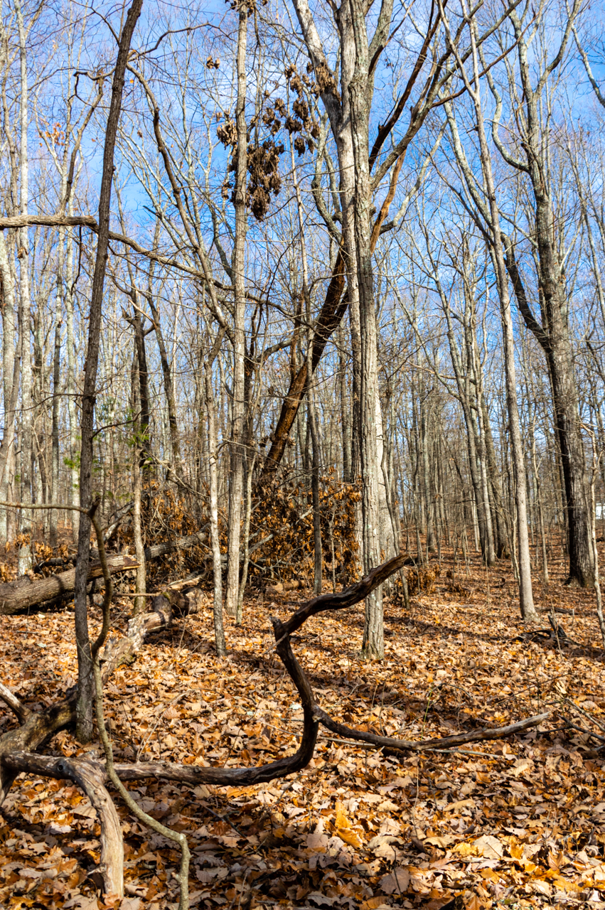
Hiking Monte Sano in the Winter
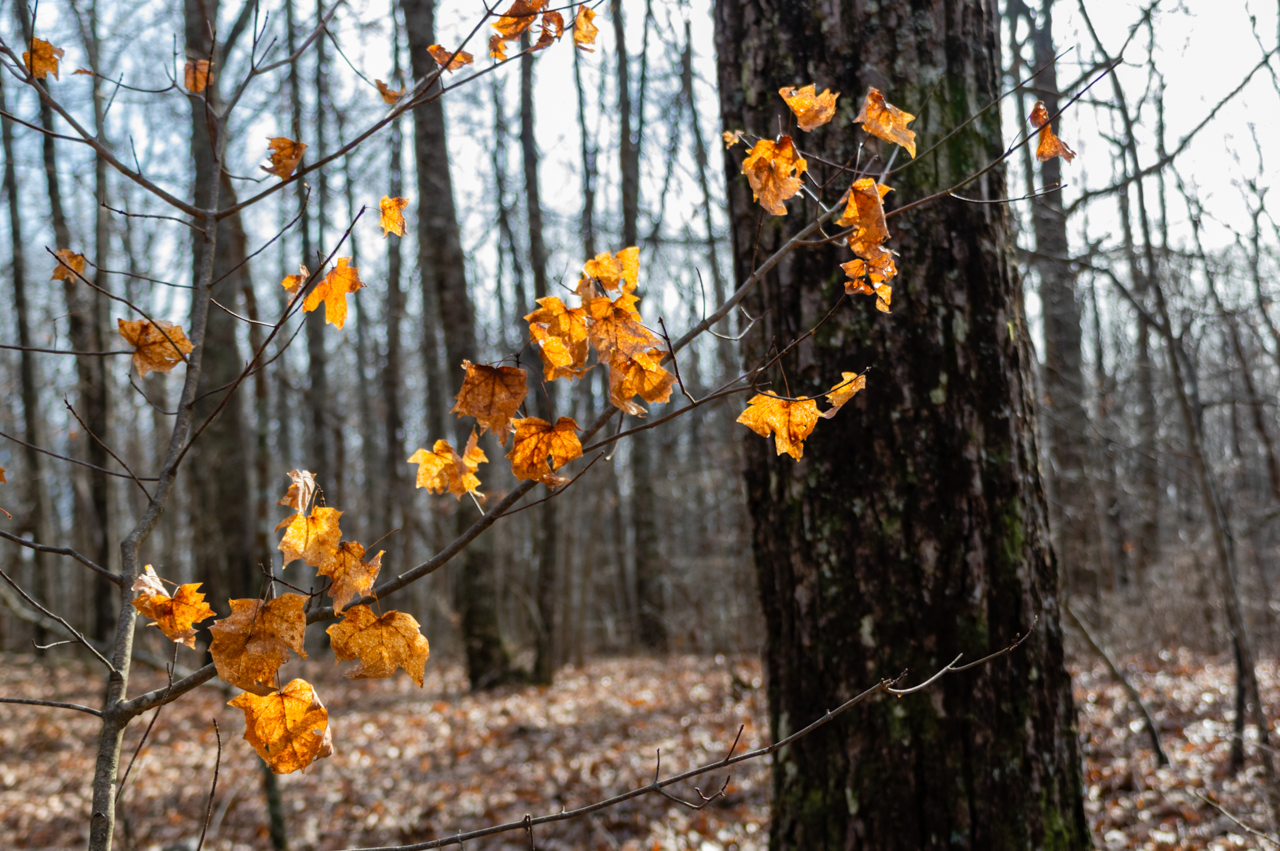
Winter is a great time for hiking in Alabama. With fewer people on the trails, the birds and small critters come out in abundance and are much easier to spot for nature waters. Plus, no bugs!
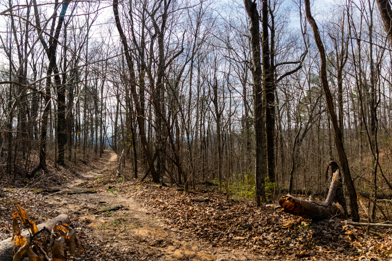
The days are slowly lengthening, but it’s still getting dark in the late afternoon so I recommend an early start to your excursion. The park opens at 8am and the park and trails close at sunset. It’s a bit colder up on the mountain, and winter is the rainy season in Alabama. Check the weather forecast and be sure to dress warmly. If it has been raining a lot lately, the trails may be muddy. (Fire Tower Trail stays muddy a long time after it rains.) Hiking on muddy trails is bad for the park, so when you encounter mud, please turn off onto other trails.
Easy Trail Highlights:
Gravel Road: 2 miles out and back at the end of a paved park road. This is a very wide trail suitable for the most novice of bikers. In winter there’s a view down the mountain to the east, and the Fire Tower is a short jaunt at the end
Family Trail: 4.5 miles round trip. You can hike out and back, or make a small loop at the end using the South Plateau Loop and then back most of the way. No elevation gain. Very easy to hike and bike.
Fire Tower Trail and South Plateau Loop: Easy hiking. Both trails have limited mountain biking.
All 3 trails above can be combined into a loop back to the Hiker’s and Biker’s Parking Lot.
Moderate Trail Highlights:
North Plateau Loop: There isn’t much elevation changes on this trail, but there are many rocks and in some spots visibility is poor. If you are biking, stay on your toes watching for hikers.
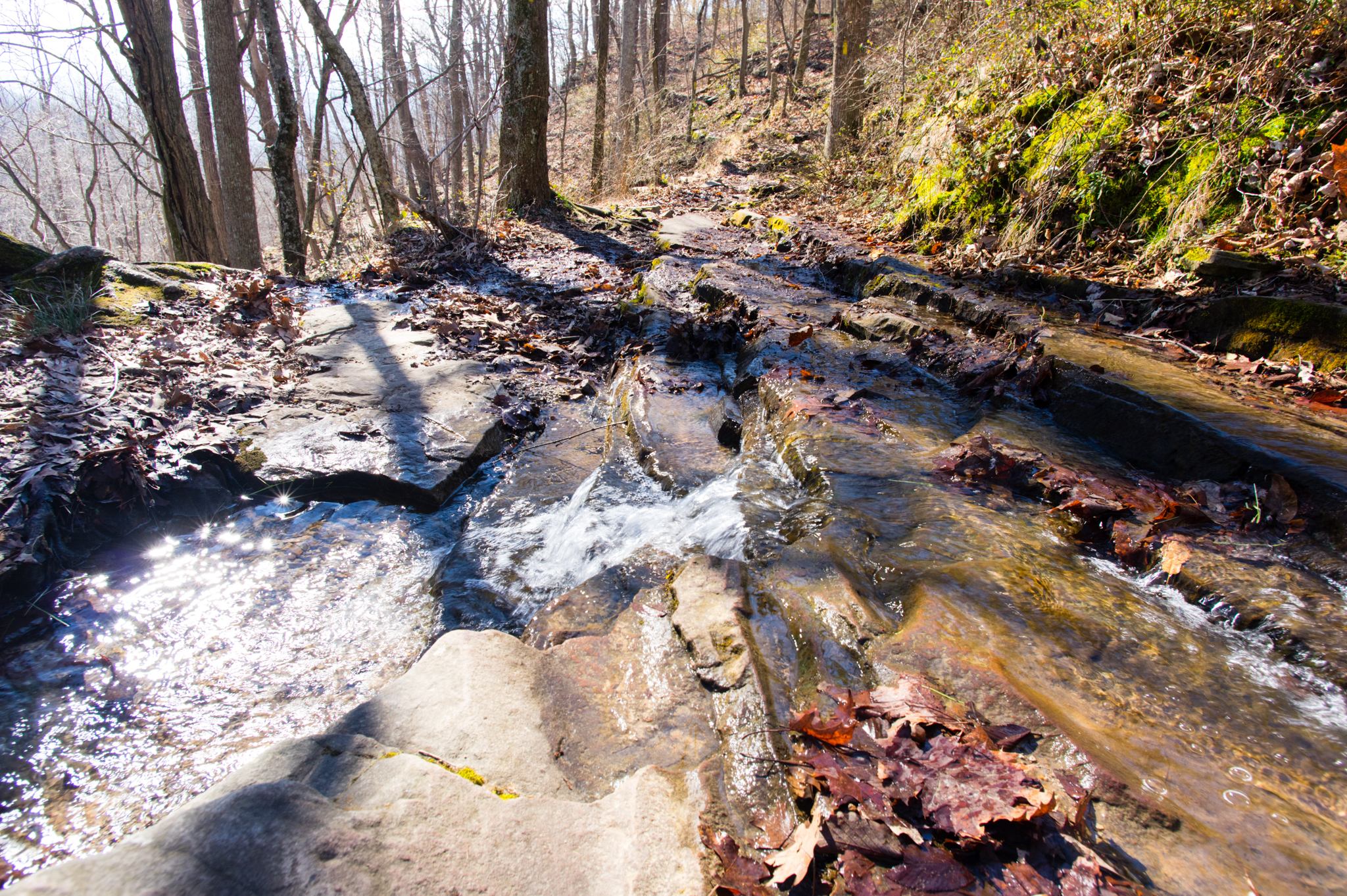
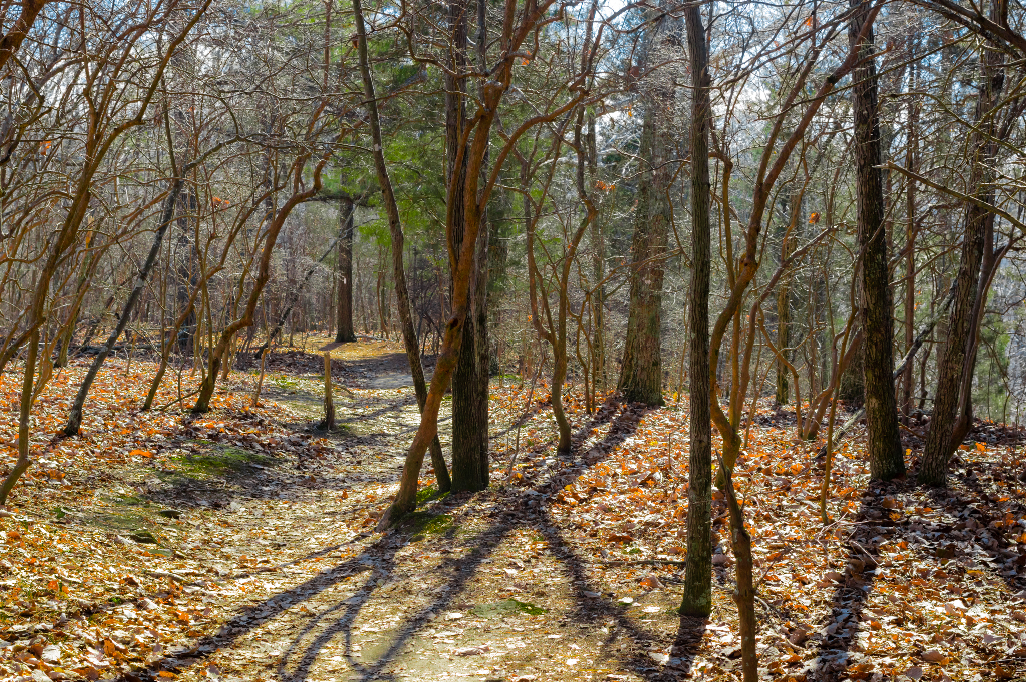
Sinks to Mountain Mist: 3 mile loop. Take Sinks downhill from the park road and follow it until it ends at Logan Point Trail. Turn left onto Mountain Mist until you get to the Park Road. This is a single track trail with significant elevation and is moderately difficult for both bikes and feet.
Ankle Breakers:
Need a real challenge? Monte Sano has numerous sections of black diamond trail for hikers. The southern and eastern trails have steep elevations and unsure footing, particularly Mountain Mist, McKay Hollow and Panther Knob. Plan carefully!
Cost: $5 per adult, $2 per child ages 4-11, senior or active military, Free for ages under 3. Gates take cash only.
What to bring: Sturdy shoes and water. Seasonal clothing. Pets on leash are welcome. Please note that in icy weather, Bankhead Parkway and other roads up the mountain are often closed.
Hiking in the Spring and Summer
Entering the park from the main entrance on Nolen Avenue, the first right turn leads to a large parking and picnic area with an adjacent playground – and a beautiful panoramic view toward the south of Hampton Cove and Owens Crossroads.
This parking lot is also a great place to start a tougher hike down McKay Hollow Trail (2 miles) by first crossing the waterfall. The trail drops off the western ridge and eventually climbs back up to the South Plateau Loop trail (3.5 miles) leading to O’Shaughnessy Point. Although this is not an overlook maintained by cutting down the trees and foliage, the mountain drops off steeply at an outcropping of weathered limestone rock.
 South Plateau Loop, Monte Sano State Park
O’Shaughnessy Point
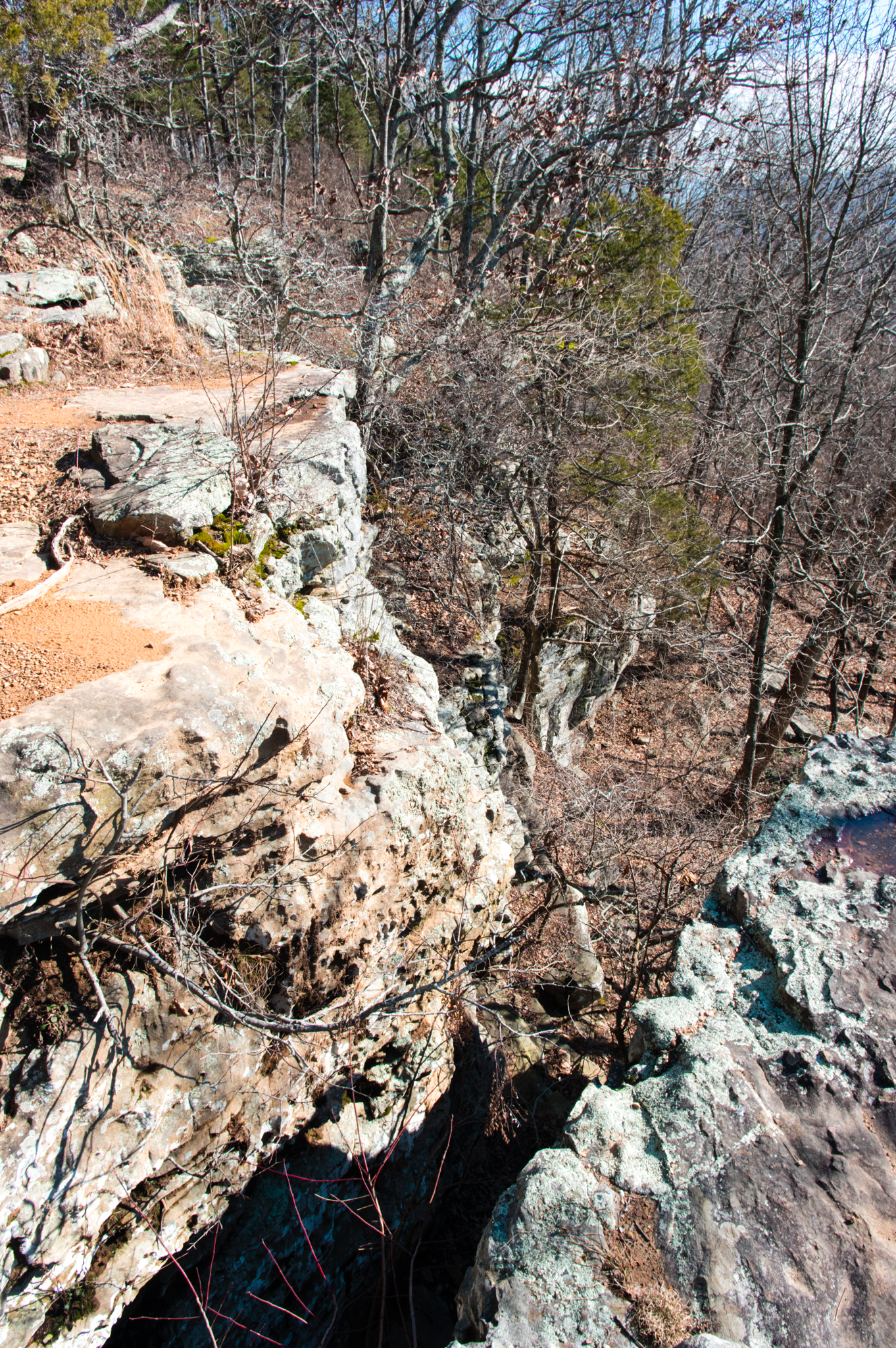
Most of the hiking and biking trails at Monte Sano lead to O’Shaughnessy Point, so for those seeking a less vigorous trail, there are several options that stay on top of the plateau. Parking in the “Hikers” parking lot is recommended to access these trails. The western half of the South Plateau Loop runs along the ridge, affording occasional glimpses of the view to the southwest, without the difficultly of McKay Hollow.
Hikers can mix and match trails out to O’Shaughnessy Point and back to build a custom trail for their outing. For hikers seeking a moderate trail, Mountain Mist is recommended, taking a left at Sinks Trail to climb back up to the “Bikers” parking lot.
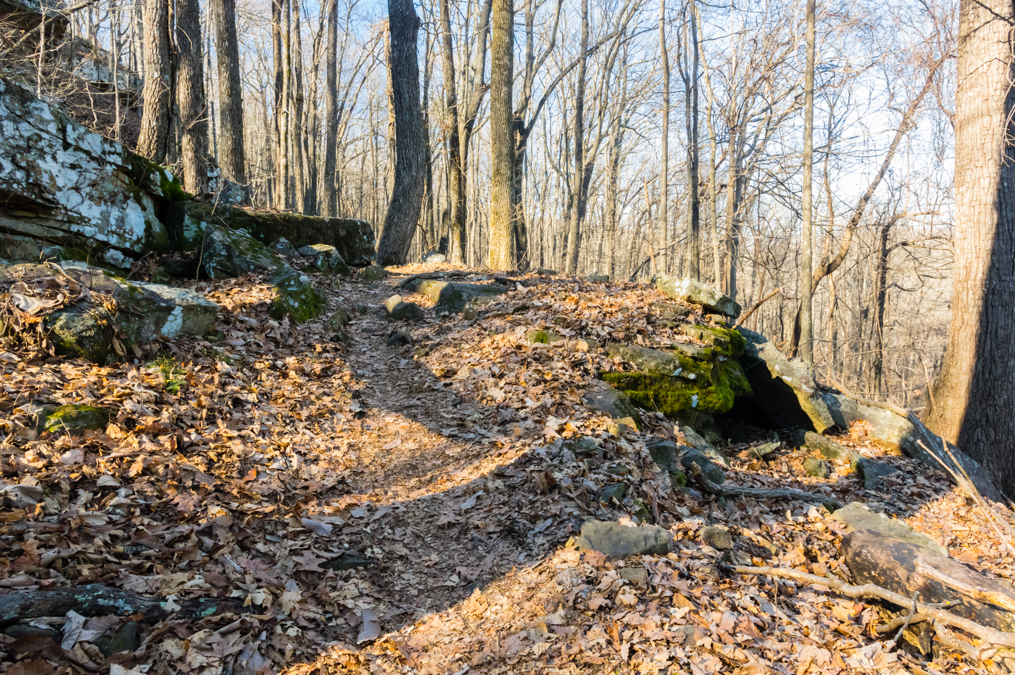
This section of the trail runs approximately 2 miles below the eastern bluff and provides excellent views of the layers of stone that make up the mountain, springs seeping out of the mountain, and a greater range of native plants and animals. Don’t be surprised if you glimpse Monte Sano’s strangest wild residents, a group of feral goats.
 Mountain Mist Trail, Monte Sano State Park
North Overlook
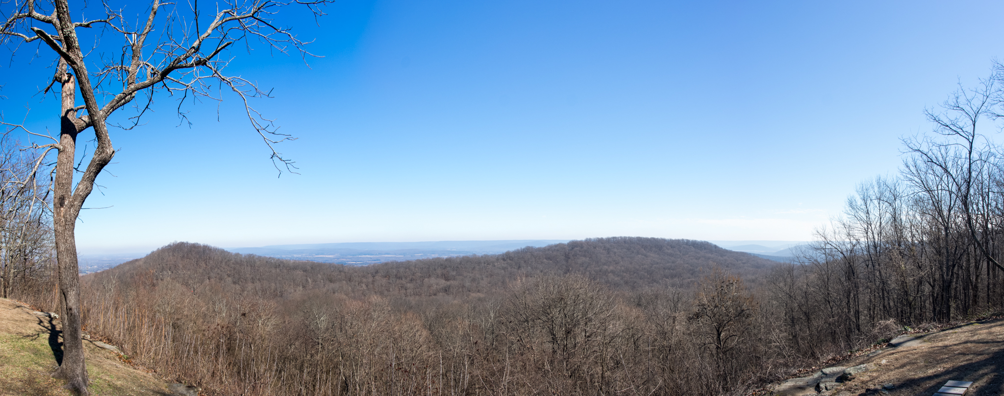
Finally, no trip to Monte Sano would be complete without a stop at the North Overlook. Looking north, the view reaches almost to the Tennessee state line and is bisected by Panther Knob. It’s another excellent spot for a picnic, or just a quick view before heading back toward downtown Huntsville.
 Mountain Mist Trail, Monte Sano State Park